Racing from school drop-off to the Caltrain platform or timing lights on 101 is no one’s idea of fun. If you are moving to Palo Alto and want a shorter Silicon Valley commute, a few neighborhoods consistently make the day easier. In this guide, you will learn which areas put you closest to Caltrain, 101, 280, and key last‑mile links so you can choose a home that fits your routine. Let’s dive in.
How Palo Alto commutes work
A few corridors do the heavy lifting in Palo Alto. Caltrain is the main rail spine, with stations at Palo Alto (University Avenue) and California Avenue. US‑101 runs along the east side of the city, while I‑280 and Foothill Expressway serve the west side. Local shuttles and strong bike routes help with the last mile to Stanford, Research Park, and nearby offices.
Palo Alto’s market is high cost, and trade‑offs are real. The city’s median owner‑occupied home value sits above 2 million dollars and the mean commute time is about 21 minutes, which frames expectations as you compare neighborhoods and access points. You can review these citywide stats in U.S. Census QuickFacts for Palo Alto.
Caltrain: the predictable rail option
Caltrain offers steady, time‑certain trips up and down the Peninsula. From Palo Alto Station, the train to Mountain View is typically one stop and often under 10 minutes on weekday schedules. Menlo Park is a shorter 4 to 6 minute ride. For exact departures and service patterns, check Caltrain schedules, and for station details like bike facilities and parking near University Avenue, see the Palo Alto Station page.
Driving: 101 vs 280
US‑101 is the primary route toward Mountain View, Sunnyvale, and Santa Clara. I‑280 is often preferred for parts of a commute toward Cupertino or south San Jose. The faster choice depends on time of day, and peak windows around 7 to 9 a.m. and 4 to 7 p.m. can add delays. Local connectors include Embarcadero Road, Oregon Expressway/Page Mill Road, and San Antonio Road; you can read more in the City’s transportation guidance on primary corridors and demand management.
Biking and last‑mile links
Palo Alto has a well‑developed bikeway network with protected lanes, bicycle boulevards, and several underpasses. For nearby destinations like Stanford Research Park, parts of Menlo Park, and some Mountain View offices, biking can be practical. The City’s Bicycle and Pedestrian Plan highlights both strengths and pinch points at rail, freeway, and creek crossings; you can review a past plan draft here.
Stanford’s free Marguerite shuttles connect the Palo Alto Transit Center to the main campus, Research Park, and medical centers. Many large employers run private shuttles that often meet near the Transit Center. Routes change, so verify details with your employer and review Marguerite shuttle maps and schedules for current service.
Notes on commute times: Ranges below are estimates, current as of March 3, 2026. Always confirm with live traffic and the latest Caltrain schedules.
Neighborhoods for short commutes
Below, you will find six areas that stand out for faster access to jobs in Mountain View, Menlo Park, Santa Clara, and Cupertino. Neighborhood names and boundaries come from the local map at Palo Alto Neighborhoods (PAN).
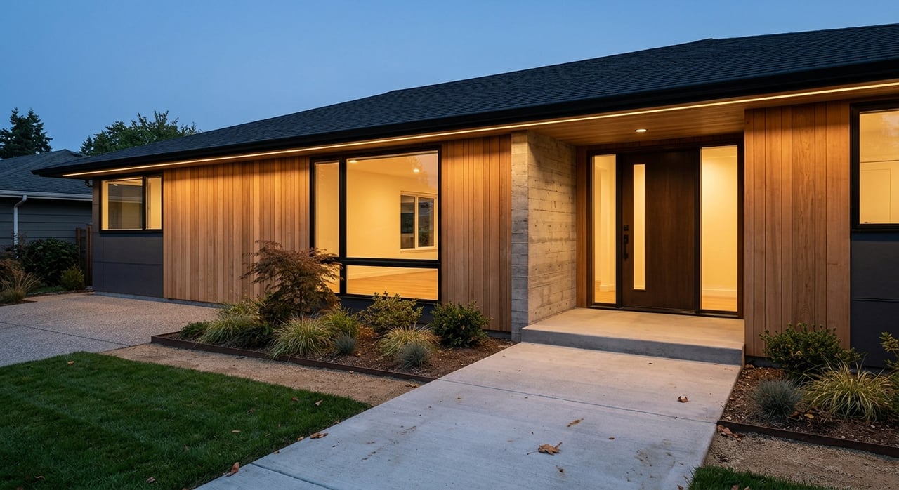
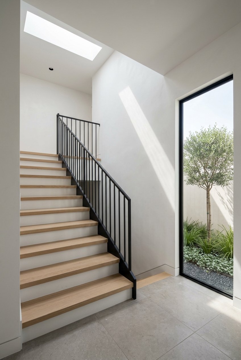
Downtown / University Avenue
Best for Caltrain riders and shuttle hubs. If you want a car‑light lifestyle, Downtown places you by the Palo Alto Transit Center with frequent Caltrain service, employer shuttle pickups, and Stanford’s Marguerite links. University Avenue offers restaurants, shops, and short bike trips, and nearby streets include both apartments/condos and some single‑family homes.
- Commute strengths: Walk to Palo Alto Station; quick Caltrain hops to Mountain View and Menlo Park; Marguerite and private shuttle pickups common near the Transit Center. Reasonable 101 access via Embarcadero or Oregon Expressway, with a longer cross‑town reach to 280.
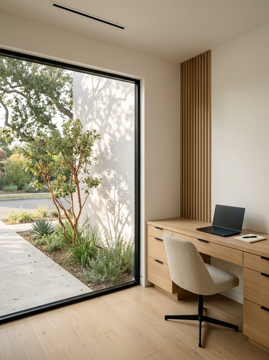
- Housing: Condos and small‑lot homes here command a premium for station proximity. Remember the city’s median owner value is above 2 million dollars.
- Schools: Served by Palo Alto Unified School District; always verify boundaries with the PAUSD school finder.
- Quick commute snapshots:
- Stanford/Research Park: bike, Marguerite, or short drive depending on office.
- Google, Mountain View: 1 stop on Caltrain, often under 10 minutes, then employer shuttle or bike for last mile.
- Meta/Sand Hill, Menlo Park: 4 to 6 minutes by Caltrain to Menlo Park, then shuttle or bike.
- Apple Park, Cupertino: plan via 280; times vary widely with peaks.
California Avenue district
Best for a village feel plus rail access. The California Avenue station is surrounded by cafés, small groceries, and neighborhood services. Many residents bike or walk to the platform, and Page Mill and Oregon make it simple to fan out to 101, 280, or 85.
- Commute strengths: Walkable access to the California Avenue Caltrain stop; straightforward routes to 101 and 280 via Oregon Expressway and Page Mill Road.
- Housing: A mix of single‑family homes and townhomes, with a premium closest to the commercial strip.
- Schools: Within PAUSD; confirm details using the PAUSD school finder.
- Quick commute snapshots:
- Stanford/Research Park: short bike ride or Marguerite connection from the Transit Center if you train in.
- Google, Mountain View: short Caltrain ride from California Avenue, then last‑mile shuttle or bike.
- Meta/Sand Hill, Menlo Park: Caltrain to Menlo Park in minutes, then shuttle or bike.
- Apple Park, Cupertino: drive via 280; variability during peaks is common.
Professorville, Old Palo Alto, Crescent Park
Best for Stanford access by bike or shuttle. These historic, tree‑lined neighborhoods sit close to Stanford and downtown services. Many residents choose bike, shuttle, or a short drive for Sand Hill Road, the main campus, or Research Park.
- Commute strengths: Quick bike routes toward Stanford; frequent Marguerite stops near the core campus.
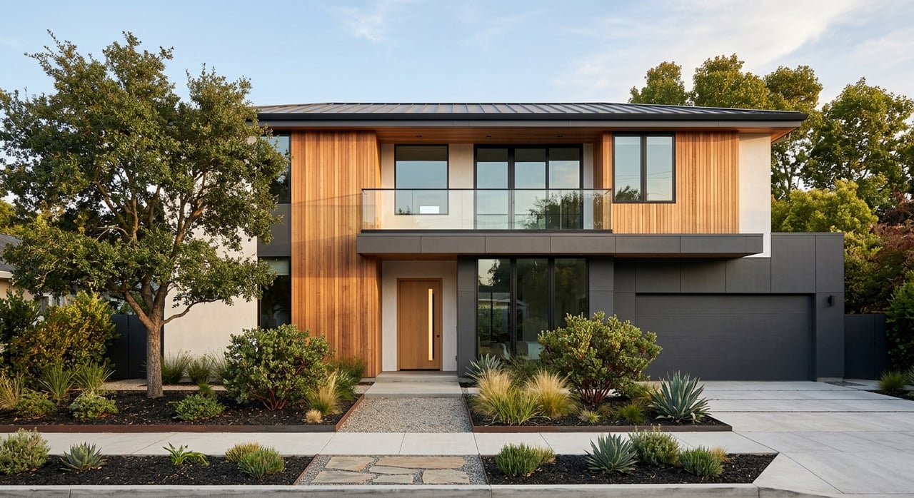
- Housing: Primarily single‑family homes in a premium tier with tight inventory.
- Schools: Within PAUSD; always confirm boundaries using the PAUSD school finder.
- Quick commute snapshots:
- Stanford/Research Park: bike or Marguerite for many addresses.
- Google, Mountain View: Caltrain from Palo Alto Station to Mountain View in under 10 minutes on many weekday trains, then last mile.
- Meta/Sand Hill, Menlo Park: short bike or drive depending on office; Caltrain to Menlo Park is 4 to 6 minutes from Palo Alto Station.
- Apple Park, Cupertino: many favor 280 for consistency; timing varies with peak congestion.
Barron Park
Best for west‑side connectors to 280. On the southwestern side, Barron Park offers larger lots by Palo Alto standards with easier access to Page Mill and Foothill corridors. It is a strong pick if your office sits south or west of the city.
- Commute strengths: Direct routes to I‑280 via Page Mill and connections to Foothill Expressway; reasonable bike access toward Research Park.
- Housing: Predominantly single‑family homes with more space for the price within Palo Alto context.
- Schools: Within PAUSD; verify boundaries with the PAUSD school finder.
- Quick commute snapshots:
- Stanford/Research Park: short bike or drive via Page Mill.
- Google, Mountain View: car via 101 or Foothill/101 combo depending on time of day; Caltrain is an option with a short drive or bike to a station.
- Meta/Sand Hill, Menlo Park: Page Mill to Sand Hill or surface streets; timing depends on peaks.
- Apple Park, Cupertino: I‑280 is often the preferred corridor from this side of town.
South Palo Alto (Ventura, Charleston Gardens)
Best for fast 101 access by car. Closer to 101 ramps and some employment areas, these neighborhoods suit drivers headed to Sunnyvale, Santa Clara, or southeastern Peninsula offices. Expect more car‑oriented commutes and a range of housing types.
- Commute strengths: Quickest access to US‑101 for many destinations; straightforward east‑west links via Oregon Expressway and San Antonio Road.
- Housing: A variety of single‑family homes, townhomes, and some multifamily options that are often discussed as relatively more attainable within Palo Alto’s market.
- Schools: Served by PAUSD; confirm with the PAUSD school finder.
- Quick commute snapshots:
- Stanford/Research Park: drive or bike depending on exact address; Marguerite requires a link to the Transit Center.
- Google, Mountain View: short 101 drive outside peak windows; Caltrain possible from California Avenue with a short bike or drive.
- Meta/Sand Hill, Menlo Park: surface streets to Sand Hill or 101 to Willow; timing varies with peaks.
- Apple Park, Cupertino: cross‑town to 280 or 85; variability is common at peak hours.
Palo Alto Hills and foothill areas
Best for space and direct 280 access. If you value larger lots and quieter streets, the foothill neighborhoods offer a retreat with relatively direct connectors to I‑280. Walks to transit are longer, so most commuters here drive.
- Commute strengths: Quick reach to I‑280 via local connectors; good for southbound trips toward Cupertino and San Jose.
- Housing: Primarily single‑family homes on larger parcels.
- Schools: Within PAUSD; always confirm with the PAUSD school finder.
- Quick commute snapshots:
- Stanford/Research Park: short drive or confident bike ride depending on elevation and route.
- Google, Mountain View: drive via 280 to 85 or 101 depending on traffic.
- Meta/Sand Hill, Menlo Park: surface streets or 280 to Sand Hill; plan for peak variability.
- Apple Park, Cupertino: a straightforward 280 run outside peak windows.
How to choose your best fit
Use your destination to narrow the field quickly:
- If you ride Caltrain most days, focus on Downtown/University Avenue and California Avenue. You will save minutes every trip and gain flexible last‑mile options.
- If you drive to Santa Clara, Sunnyvale, or north San Jose, South Palo Alto’s quick 101 access can reduce time in neighborhood traffic.
- If your office is at Stanford or Research Park, Professorville, Old Palo Alto, Crescent Park, and Barron Park shine for bike and shuttle access.
- If you prefer I‑280 and a quieter setting, look to the foothills for the most direct southbound starts.
Two final checks make a big difference. First, preview your door‑to‑door routine during your actual commute window, including parking or bike parking at the Caltrain station you will use. Second, confirm school boundaries with the PAUSD school finder if that factor matters for your move.
Ready to match a home to your commute and lifestyle? For private guidance, on‑the‑ground insight, and curated tours near the stations and corridors that fit your routine, reach out to Kathleen Pasin for boutique, local‑first representation.
FAQs
What Palo Alto neighborhood is best for Caltrain commuters?
- Downtown/University Avenue and the California Avenue district place you within a short walk of stations and near shuttle links; check Caltrain schedules for exact trains.
How long is the Caltrain ride from Palo Alto to Mountain View or Menlo Park?
- On many weekday trains, Mountain View is often under 10 minutes from Palo Alto Station, and Menlo Park is about 4 to 6 minutes; confirm with the latest Caltrain schedules.
Is 101 or 280 faster for South Bay commutes from Palo Alto?
- It depends on time of day; 101 serves Mountain View, Sunnyvale, and Santa Clara, while 280 is often preferred toward Cupertino or south San Jose; see the City’s transportation guidance.
Are there free shuttles from Caltrain to Stanford and Research Park?
How can I confirm which Palo Alto public schools serve a specific address?
- Use the PAUSD school finder to check current boundaries and program assignments; do not rely on general neighborhood lists.
Where can I see an overview of Palo Alto neighborhood boundaries?
- The local neighborhood map from Palo Alto Neighborhoods is a helpful reference; explore the PAN neighborhood map to see names and boundaries.